

Barrier islands, sometimes referred to as sandbar islands, are a type of dynamic coastal landform where sand deposits build up parallel to the coast, creating long islands of ocean sand dunes just off the mainland shoreline.
This remarkable phenomenon acts as a natural barrier between rough ocean conditions and the more delicate coastline, thus providing a home for life that would otherwise not survive.
Forming from a complex interplay between climate, geographical structures, and ocean conditions, barrier islands are a wonder, but yet hold more value than you may have previously thought.
The Formation of Barrier Islands
The formation of barrier islands is complex and not yet entirely understood.
That said, it is currently believed that they have come about through a combination of rising sea levels, the deposition of sand by wind and wave action, and sediment runoff from river systems.
Approximately 12,000 years ago when the last ice age ended, the earth began to heat. This led to melting glaciers and resulted in sea level changes.
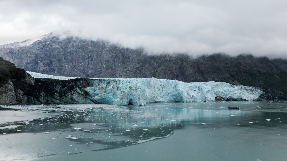
As ocean levels rose, low-lying coastal areas became flooded. In some cases, these flooded areas lay behind coastal ridges, eventually becoming islands.
Over time, through a combination of storm surges, tidal action, and longshore currents, sand and sediment are deposited on the seaward side of the coastal ridge, slowly building it up.
Similarly, sediment washed down from rivers is deposited on the coastal side of the barrier island, creating a sandy beach.
Barrier islands are dynamic, meaning that they are constantly changing, either being built up by constructive waves or broken down by rough weather conditions.
Through constant deposition, these ridges become barrier islands, and the flooded planes between them and the mainland become protected lagoons.
On larger barrier islands, where dunes can absorb fresh rainwater, green life has slowly developed, and with it, some unique species call these coastal islands their home.
Barrier Island Structure
Barrier islands form in specific structures, creating a variety of unique environments. In most cases, this can be broken into the following:
- Ocean
- Beach
- Dunes
- Barrier flats or mud flats
- Marsh
- Laggon
The mainland then follows this.

Barrier Islands Ecosystems and Biodiversity
The ecological system of Barrier islands is typically broken into three main habitats: dunes, flats, and salt marshes.
That said, each of these habitats supports smaller microhabitats, depending on the location of the island, as well as its geography and general climate conditions.
Dunes
Dunes pose a harsh environment. They are hot, dry, and face the full brunt of the ocean’s force, but this hasn’t stopped life from developing on their slopes.
The sand dunes of barrier islands are often found covered in hardy flora, such as beach grass and reeds that have deep roots, which help stabilize the dune while securing the plant in the harsh ocean winds.
Among this flora, you are likely to find an array of crabs, nesting sea birds, and small reptiles such as snakes and lizards.
Following these dunes, on some islands, you will find larger vegetation, such as shrubs and small trees, which provide homes for mammals such as foxes, raccoons, and a larger variety of snakes.
Barrier Flats
Barrier flats, or tidal flats, form a lower-lying region on the coastal side of the island. This area, commonly called the mud flat, overwash, or back dune, lies in the intertidal zone and is often covered by water for large periods of the day.
This habitat, as the name suggests, is a maddy region, and supports plant life that is hardy to the high salinity levels.
Some of these include cordgrass and sawgrass.
Because of the water levels and decomposing plant matter, there is little oxygen in this region. This means that animal life is mostly limited to filter feeders such as clams and oysters, or decomposing invertebrates such as worms.
That said, crabs are usually found in abundance in the mud-flat region, as well as a variety of birds.
Salt Marshes
The salt marshes harbor much of the same life that can be found in the flats and closely resemble freshwater marshes that are found on the mainland.
Parts of these marshes are constantly underwater, which provides nurseries for smaller fish and other aquatic flora.
When the barrier island is found further away from the mainland, these marshes can stretch into calm bodies of water known as lagoons or estuaries, where a greater diversity of fish can be found foraging and nursing.
The Importance of Barrier Islands
Although barrier islands offer a wide range of wildlife that supports the wider ecosystem, as well as the local economy through fishing and tourism, they hold a deeper value.
Barrier islands, as the name suggests, create a natural barrier between the ocean and the fragile coastline. Sand dunes and grasses absorb waves and wind energy coming from the ocean. Without this barrier the coastline would often change due to storms, moving great amounts of sand, and disrupting new sprouting plants.
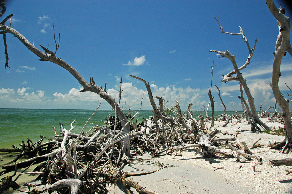
Thanks to these islands, intricate ecosystems such as mangrove forests and swamps can form, bringing with them their own unique species.
As barrier islands generally mean the coast sees less flooding, they also provide coastal communities with a safer option when settling by the ocean.
Barrier Island Threats
Although barrier islands hold great ecological significance, they are constantly under threat, both from natural occurrences, as well as human influence.
Some of the biggest threats to barrier islands include the following:
- Erosion: As is their nature, barrier islands are constantly changing with the winds and tides, but human intervention has further increased the rate of erosion on some of these islands.
Construction and dredging are both necessary to maintain the islands for human use but have a negative environmental impact.
- Sea-Level Rise: Barrier islands result from a rising sea level, and this process has not yet stopped. Although there is a natural relative sea level rise, climate change due to global warming has sped up the process.
As the sea level rises, the size of the barrier islands decreases.
- Storm Damage: Intense storms, like hurricanes or natural disasters such as tsunamis can reshape or destroy barrier islands. Although these are natural occurrences, they can reshape the islands to the point that they no longer protect the mainland.
- Development Pressure: Human development on barrier islands, as it is everywhere on the globe, has negatively affected the native ecosystem by disrupting animals and changing the natural habitat.
FAQs
How can barrier islands be conserved and protected?
Conservation efforts include beach nourishment, dune restoration, respectful land use, and the preservation of natural habitats through ecosystem restoration and education.
How many barrier islands are there on Earth?
The exact number of barrier islands is difficult to track as they are forever changing. That said, there are over 2,000 barrier islands in the United States alone.
What are some famous barrier islands?
There are many notable barrier islands. However, a few to take note of include the Outer Banks in North Carolina, Amelia Island, Florida, and Fraser Island, Australia.
What is the largest barrier island?
Padre Island is the longest barrier island, stretching 113 miles down the southern coastline of Texas.


